Image Credit: Instagram / Kai Nagata
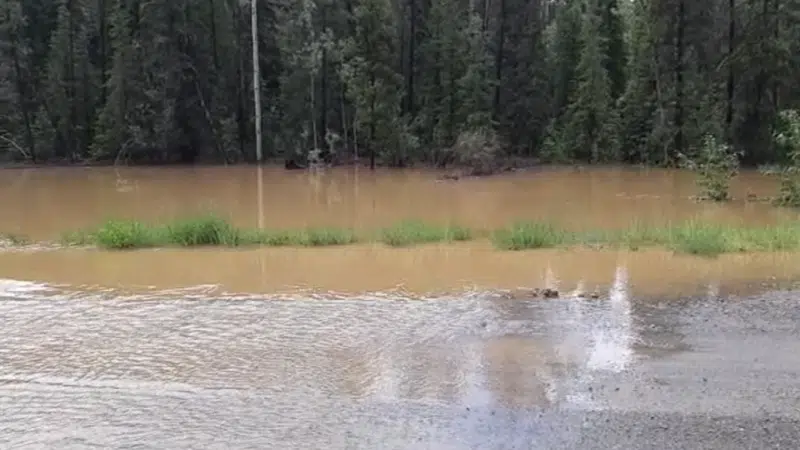
Chilcotin River Flood
Flyover could determine extent of flooding along Chilcotin River
Jul 10, 2019 | 11:40 AM
-
Share on Facebook
-
Share on Bluesky
-
Share on X
- Copy Link
WILLIAMS LAKE, B.C. — Officials in British Columbia’s southern Interior will fly over the Chilcotin River and its tributaries to get a better idea of the severity of flooding that has swamped the region.
A flood warning posted Monday by the River Forecast Centre is still in effect, although a spokeswoman for the Cariboo Regional District says river levels are expected to begin receding.
Emily Epp also says the latest floods have been caused by as much as 100 millimetres of rain since the weekend, and more precipitation in the forecast means area waterways will continue to surge.
Environment Canada is forecasting up to 10 millimetres of rain Wednesday and the same amount overnight, possibly accompanied by thunderstorms or hail.


