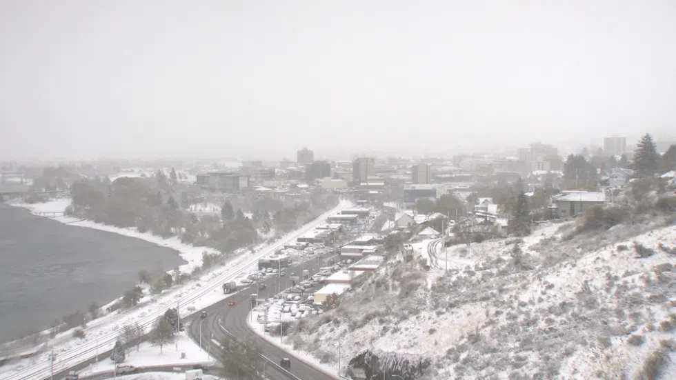
Cold snap expected to stick around Kamloops for next few days
KAMLOOPS — Temperatures in Kamloops plummeted over the weekend, and things won’t start to warm up until later this week.
Environment Canada forecaster Doug Lundquist says, despite the freezing temperatures along with windchill, Kamloops isn’t close to setting any cold weather records.
“We do usually get Arctic outbreaks in the winter and right now we’re not even close to the records — we’d have to be about 10 C colder than this to be in record-breaking territory,” Lundquist says. “The unusual part of this winter was the fact that we didn’t have winter, it really didn’t start until Groundhog Day, and that’s really about when we’re wondering if it’s ending. Overall the winter still will probably be above average unless February’s really cold.”
Lundquist says an Arctic front made its way to Kamloops over the weekend and will last for a while. Last night, along with the next two nights, will be the coldest of the snap, Lundquist says. Temperatures are expected to warm up toward Thursday and Friday, with a system and some snow moving in.


