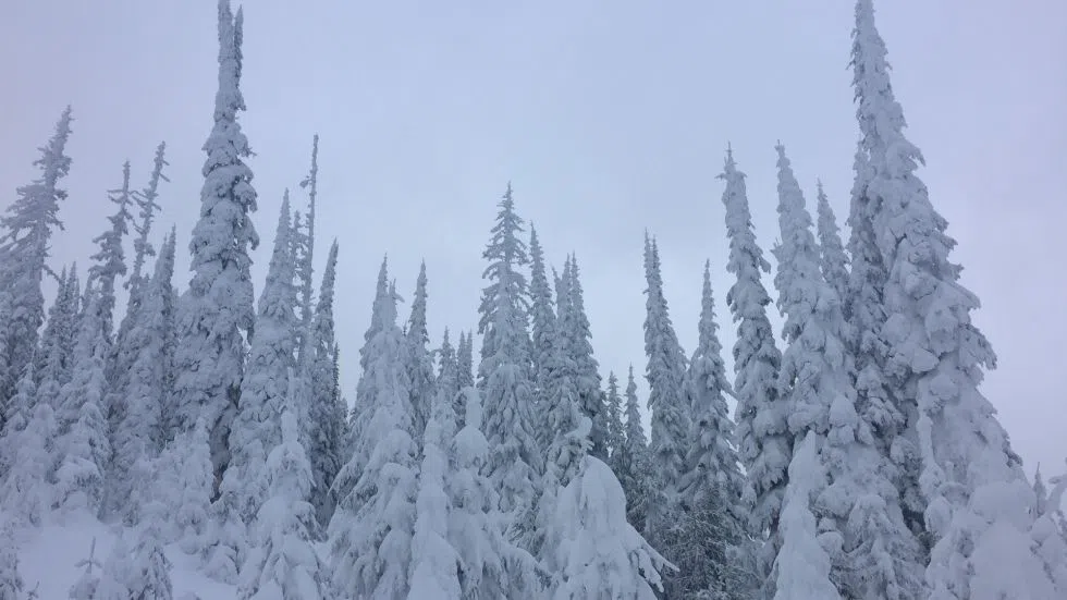
BC River Forecast Centre: larger snowpack doesn’t necessarily mean lower wildfire risk
KAMLOOPS — Will a bigger snowpack help mitigate the wildfire risk in B.C. this summer?
Not necessarily, according to the BC River Forecast Centre (BCRFC).
BCRFC Head Dave Campbell says while the North Thompson was sitting at about 92 per cent of normal February 1, this weekend’s wintry burst probably means it’s risen about 10 per cent, while the South Thompson, which sat at about 104 per cent Feb, 1, is also up around 10 per cent.
“The full interpretation is a little outside of the scope of what is my expertise. But certainly what my impression is, is that we do get, as the snow melts, soil moisture, particularly early in the season,” he says. “It plays a little bit of a role in the snow but oftentimes it’s more dependent on the weather when we get into the fire season and the dry, hot, side of things, is really what drives the fuel moisture in fire starts.”


