REGISTER TO BID: Items are closing fast for CFJC TV Auction!

Snowfall warnings, special weather statements issued for B.C. Interior

Jan 27, 2018 | 8:32 AM

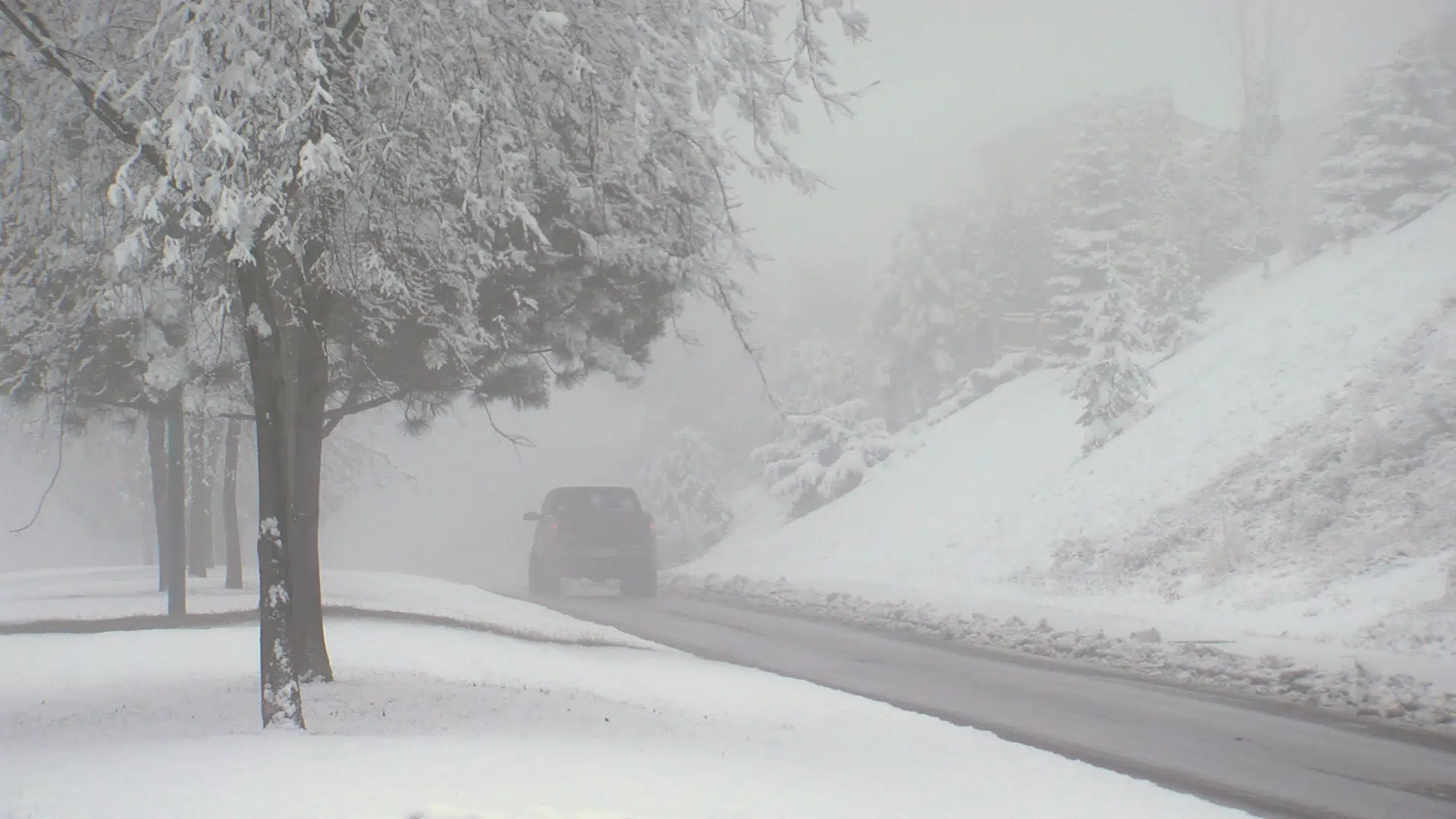
KAMLOOPS — Plenty of snow will blanket the B.C. Interior this weekend. 

While much of the region is under a special weather statement, Environment Canada Meteorologist Allan Coldwells says heavier snowfall in the Shuswap and on the Coquihalla Hwy between Merritt and Hope has prompted warnings. 

“We’re expecting about 10 cm of snow through the day and into the early evening through the Shuswap,” Coldwells said, “so that’s why we have a snowfall warning for that area. Into the Coquihalla with the onshore flow from the Pacific we’re going to get a little bit more snow, so in the order of about 10-20 cm through that region.”

Heavy snow began to fall in the Thompson and Okanagan regions early Saturday morning, with accumulations of around 5 cm expected in valley areas.


Coldwells says a second system will push into the Interior on Sunday. 

“Right now we’re forecasting sort of in the same amounts, so about another 5 cm for Sunday across the Thompson and parts of the Okanagan as well,” he said. “But, we are watching that system carefully, and we may actually end up having to put more snow fall in for tomorrow’s forecast. We’re evaluating that today and we could end up having some more snowfall warnings through the region tomorrow.” 

Coldwells says the system passing through the area Sunday may linger into Monday morning, creating a bit of a messy commute for the beginning of the work week. 

“By the afternoon hours (Monday) it should definitely have moved further east, and we should see a little bit milder conditions, and maybe even a mixture of precipitation in the afternoon, and with the precipitation not as steady, so more showery on Monday afternoon.”