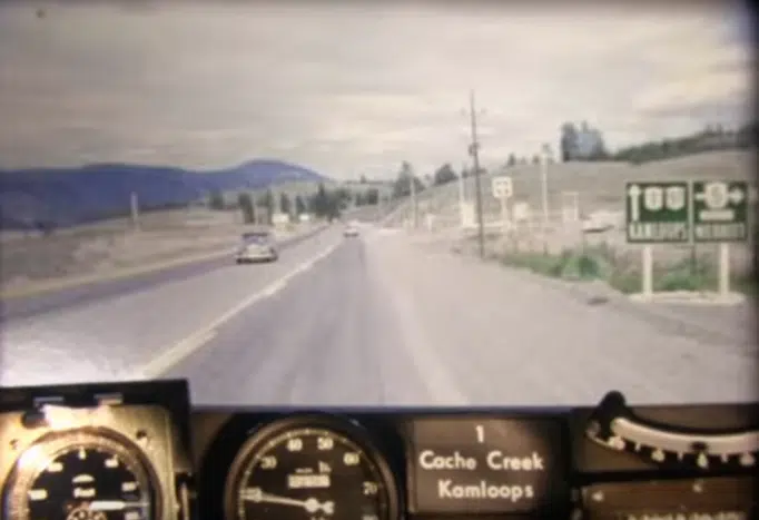
BC Highways, 50 years ago
On Google Maps, it’s not uncommon for people to see what an area looked like two, four, or even eight years ago.
But if you’re interested in seeing what a highway in British Columbia looked like, you can go back 50 years.
Two employees with the Ministry of Transportation have been posting a series of “RoadTrip Time Machines” on YouTube, allowing British Columbians to see what the busiest corridors in the province looked like in 1966.


