Snow predicted to hit Kamloops Tuesday

Oct 1, 2018 | 11:39 AM

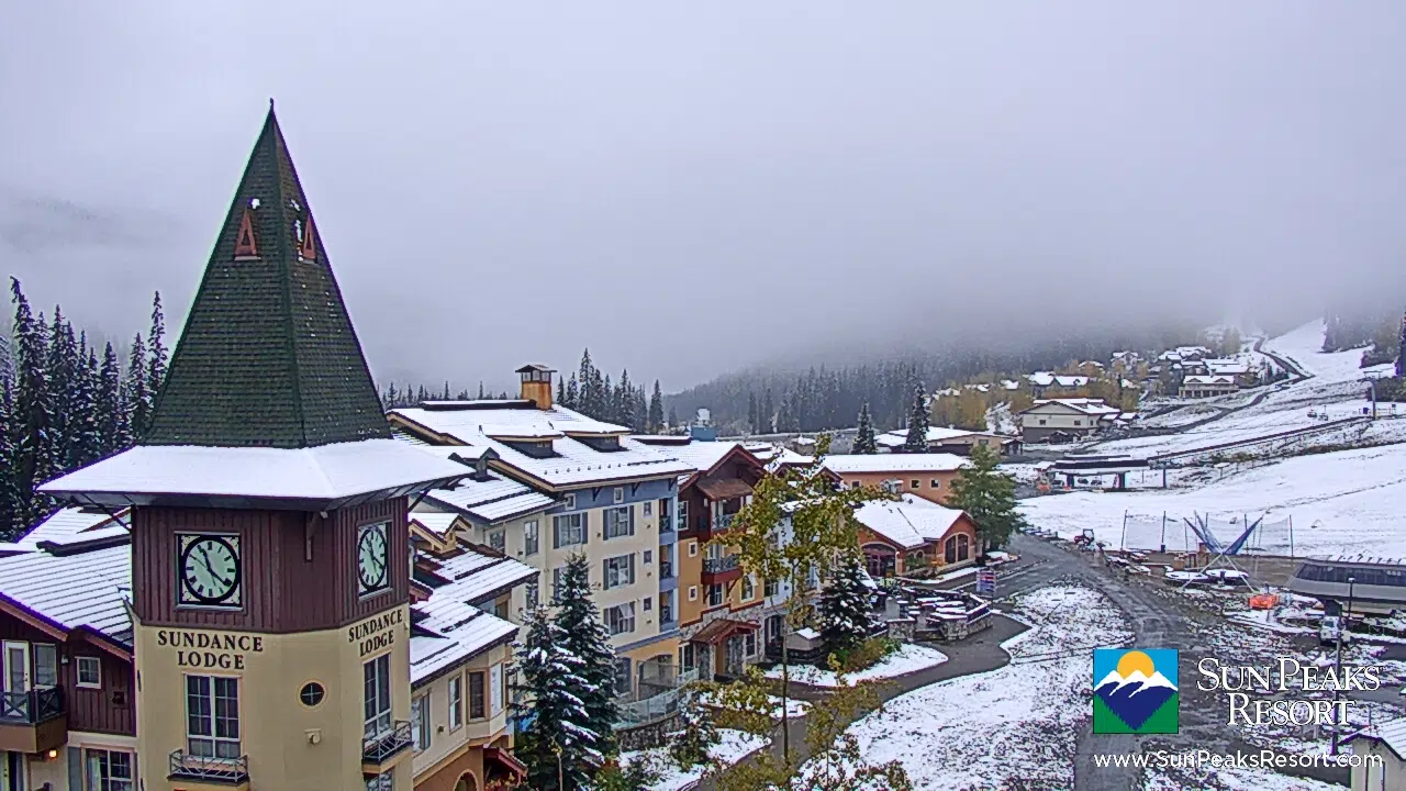
KAMLOOPS — The snow that has begun to fall in northern and central BC has been creeping its way south — and it appears tomorrow is the day it will hit parts of the City of Kamloops.

The community of Barriere has reported snowfall today, and both Sun Peaks and Harper Mountain are receiving a generous dusting.

An Environment Canada snowfall warning is in place for the 100 Mile House and Chilcotin regions, as well as the Shuswap east to the Alberta border.

WATCH: Snow falling on Harper Mountain Sunday. (Video Credit: Harper Mountain)

Today’s high is 10 degrees Celsius with rainfall in the forecast, but tomorrow’s high is significantly cooler.

Environment Canada says a trough of low pressure is bringing precipitation, and a low pressure system embedded within the trough will enhance that moisture tomorrow.

That means the snow level will drop to 1000 metres overnight, and Kamloops will see rain turning to snow tomorrow.

Snow is expected to reach the valley bottoms but won’t stick.

In upper elevation neighbourhoods like Aberdeen, Environment Canada is forecasting accumulations of two to four centimetres in the late morning to afternoon period.

But the snow won’t be here for long.

Forecasters are calling for sunshine and significantly warmer temperatures for Wednesday and Thursday in Kamloops.