River Forecast Centre: rising rivers could present challenges to North Thompson next week

May 17, 2018 | 3:34 PM

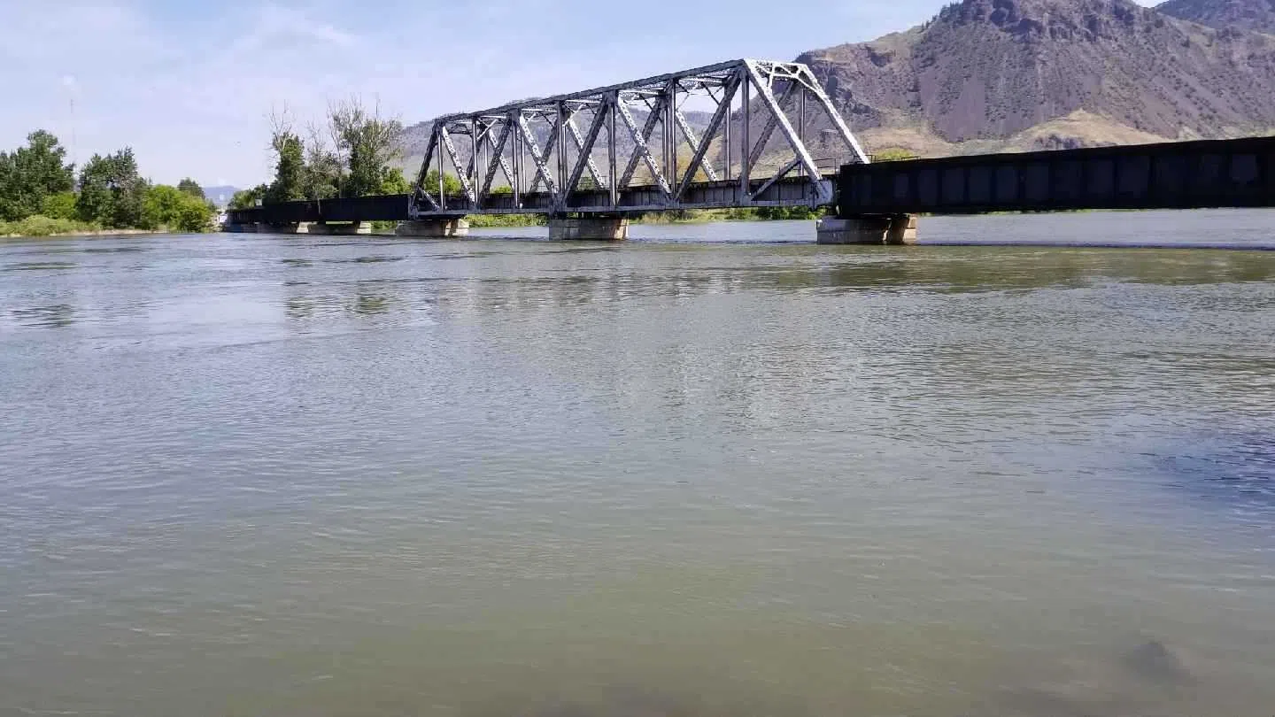
KAMLOOPS — The combination of a rapid snow melt and soaring temperatures continues to cause flood-related nightmares in many areas of the province, though concerns over the Thompson watershed likely won’t surface until next week.

Dave Campbell, head of the River Forecast Centre says the prolonged periods of extreme heat across the province has been “unprecedented for this time of year leading to flows we haven’t seen for many decades.”

He says the Kootenays, Boundary, Okanagan and Southern Interior are among the areas of concern. Campbell says the expectation of rain today into tomorrow could make matters worse.

Chris Duffy, executive director of Emergency Management BC, says flooding has prompted the province to bring in 140 members of the Canadian Armed Forces to help out.

He adds there are now 36 states of local emergency, 13 band council resolutions, approximately 4,500 people on evacuation order and another 7,100 on evacuation alert province-wide.

Closer to home, the situation looks more promising at Nicola Lake where inflows peaked May 11 and where rising levels have dropped off from 20 centimetres a day last week to 1.5 centimetres a day as recent as Wednesday.

Campbell says when it comes to the Thompson watershed, “we’re getting to the stage where that melt from the upper elevations is contributing much more,” though we’re still a week or 10 days out from elevated concern where low-lying flooding may become an issue.

“So, we are seeing the rises there, both the North and South Thompsons. At this stage it’s probably challenging the North Thompson as we get into next week in terms of higher flows and then towards the end of next week or next weekend we might start to see those on the South Thompson side.”