Snowfall warnings, special weather statements issued for B.C. Interior
-
Share on Facebook
-
Share on Twitter
- Copy Link
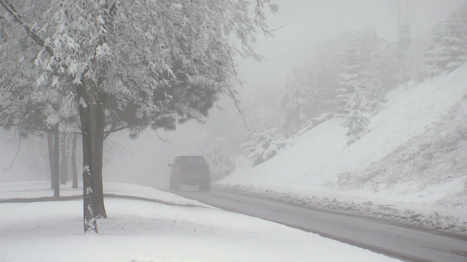
KAMLOOPS — Plenty of snow will blanket the B.C. Interior this weekend.
While much of the region is under a special weather statement, Environment Canada Meteorologist Allan Coldwells says heavier snowfall in the Shuswap and on the Coquihalla Hwy between Merritt and Hope has prompted warnings.
“We’re expecting about 10 cm of snow through the day and into the early evening through the Shuswap,” Coldwells said, “so that’s why we have a snowfall warning for that area. Into the Coquihalla with the onshore flow from the Pacific we’re going to get a little bit more snow, so in the order of about 10-20 cm through that region.”
Heavy snow began to fall in the Thompson and Okanagan regions early Saturday morning, with accumulations of around 5 cm expected in valley areas.