Flood watch issued for Thompson Rivers through Kamloops

Jun 1, 2017 | 11:00 AM

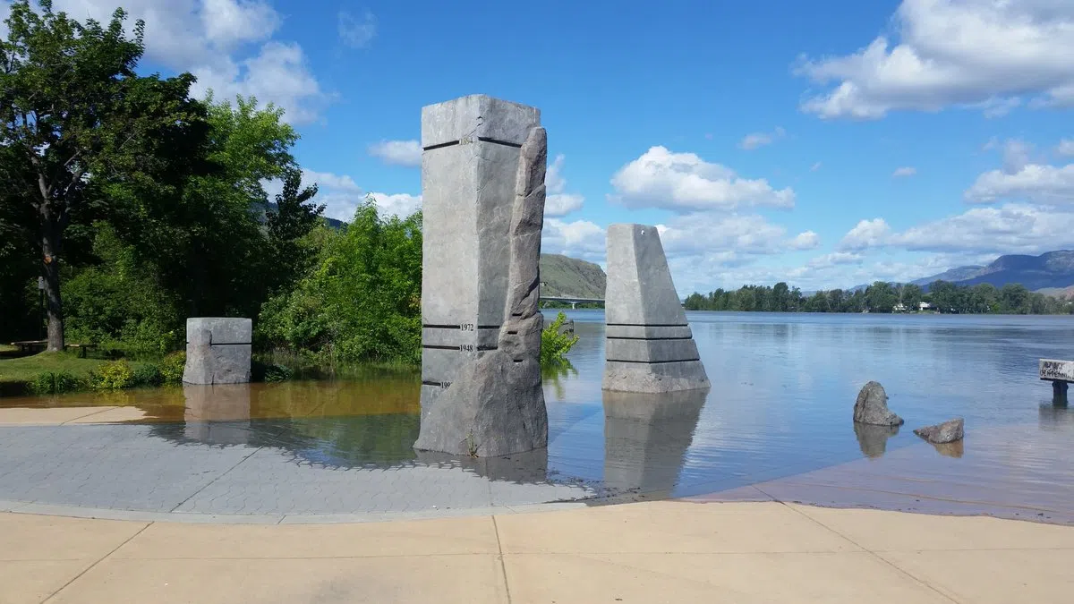
KAMLOOPS — The BC River Forecast Centre has upgraded the advisories on the North Thompson, South Thompson and Thompson Rivers through Kamloops to flood watch stage.

The change was made as of 10:45 this morning.

Rivers in the Shuswap region have also been upgraded to flood watch stage.

The centre says significant snow melt has taken place since the weekend due to high temperatures, and thundershowers and rain have also contributed to runoff.

Rising levels on the North Thompson are expected to continue through the day, and the South Thompson is expected to continue to rise through the rest of the week.

The forecast centre says rapid snowmelt caused by recent hot weather has prompted a high streamflow advisory for southern sections of the Fraser River, with a rapid rise near Hope by Saturday.

In Kelowna, high waters have already begun lapping across Water Street, near the downtown core, as Okanagan Lake climbs more than 17 centimetres above readings set in 1948, when the flooding benchmark was last set.

Adding to the problems, a severe thunderstorm warning has been posted by Environment Canada for the Boundary region and a thunderstorm watch is in place for the Okanagan Valley.

The Central Okanagan Regional District has said the lake could climb a further 10 centimetres before peaking in about two weeks, while the district says levels of Mission Creek through downtown Kelowna are also forecast to keep rising until mid-June. 
 

— With files from The Canadian Press