TNRD recommending boaters stay off Nicola Lake this long weekend

May 17, 2017 | 5:21 PM

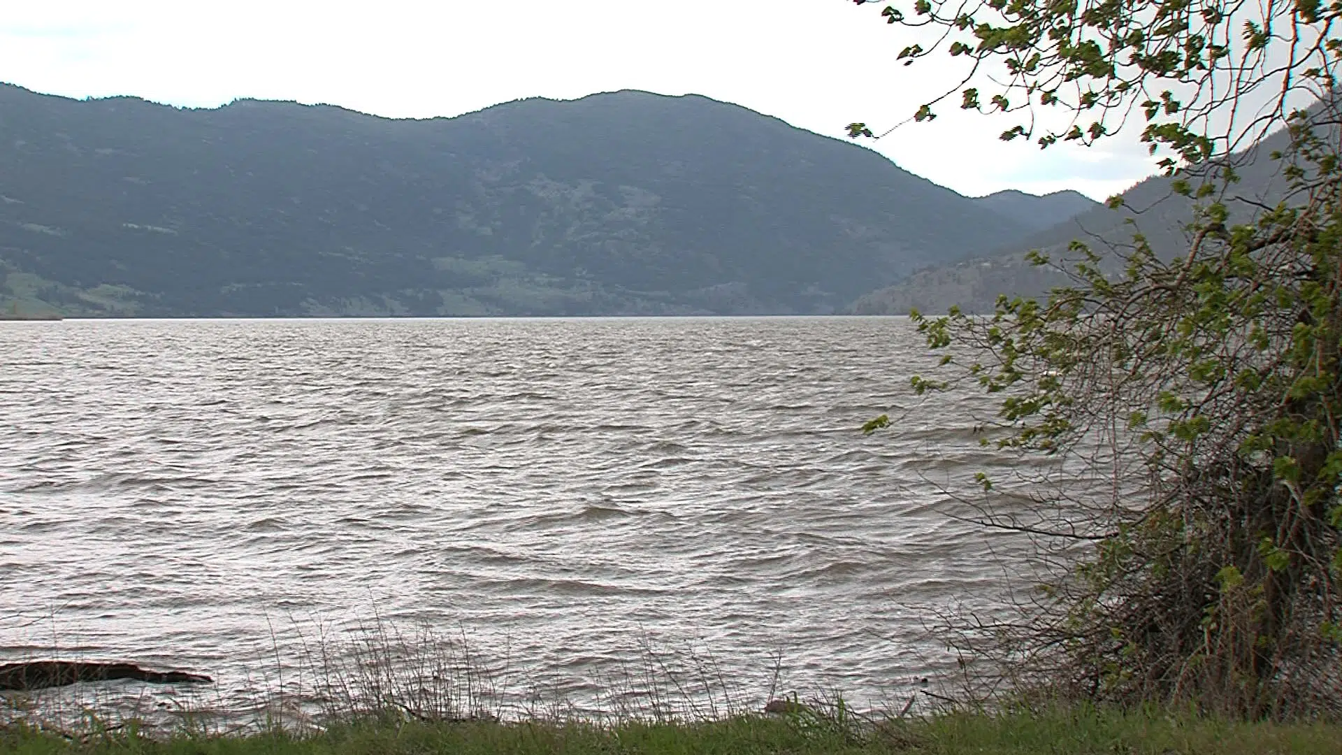
VANCOUVER — Waterways in British Columbia’s Nicola Valley, near Merritt, are the latest to burst their banks, forcing evacuations and alerts, as flooding continues to cause problems across the southern Interior. 

Emergency officials with the Upper Nicola Indian Band, about 30 kilometres northeast of Merritt, ordered the evacuation of seven more homes on Wednesday, in addition to the 11 homes evacuated earlier this month.

A further 28 homes and four recreational vehicle parks remained on evacuation alert in the same area, while the City of Merritt was also coping with high water as the Nicola River has breached its banks.

A city official said a few streets are flooded but no homes have been damaged and she expected it could be a week before conditions dry up.

Close to Kamloops, rising waters of Campbell Creek washed away a trail in the BC Wildlife Park and forced park officials to move mountain goats to a safer enclosure.

Emergency officials in the Okanagan say record-high water levels in surrounding lakes, an abundance of snow still to melt and unpredictable weather mean flood conditions in the region will likely last well into June.

The Central Okanagan Regional District said levels of Okanagan Lake rose more than three centimetres Tuesday and lakeside residents were urged to prepare for high water.

The district continued to set up dams and sandbags to protect parts of flood-threatened downtown Kelowna.

It said the lake currently sits at 342.74 meters and is rising at a rate of more than three centimetres daily. Officials have warned that serious flooding will occur if Okanagan lake surpasses the 343-metre level.

The district rescinded evacuation orders for all properties affected by flooding on Okanagan Indian Band Reserve #7, but it recommended residents leave flood preparations such as sandbags in place.

In its latest flood preparation memo issued Wednesday, the district included specific directions to help residents determine how far flood waters are expected to seep across their properties.

“Use a tape measure to measure an additional 86 centimetres vertically above the existing water level (of 342.74 metres). This will equal 343.6 metres, which includes the projected flood level plus buffer to protect from wave action,” the district advised.

The memo advised homeowners to mark the level against something stationary such as a tree, fence or wall and to build flood protection measures including sandbag walls, up to that height.

As lake levels creep upwards, officials in Kamloops are keeping watch over two powerful rivers as Environment Canada forecasts warmer temperatures this weekend during heavier-than-normal snowpacks on area mountains.

“We still have over 90 to 95 per cent of our high elevation snowpacks in the North and South Thompson drainages,” said Emergency Operations Centre head Dan Sutherland. “We are watching it very, very closely,”

Provincial disaster financial assistance has now been authorized for North Okanagan Regional District properties affected by flooding.

Homeowners who do not have flood insurance may submit a claim for flood losses on or before the Aug. 5 deadline.

The Canadian Press