New BC snowpack numbers stoke flood fears

May 8, 2017 | 3:53 PM

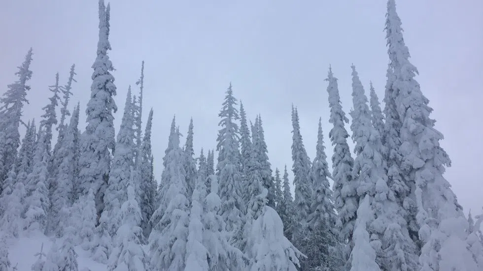
KAMLOOPS — Ominous numbers released by the BC River Forecast Centre today suggest the Interior could see a lot more flooding this spring.

The latest snow survey shows the average provincial snowpack at 118 per cent of normal as of May 1, compared to 98 per cent on April 1.

Section Head Dave Campbell says the melt has been very slow, and precipitation throughout April has not helped matters.

“We’ve seen a combination of wet weather, particularly in the south half of the province, but also cooler,” said Campbell. “That’s driven snowpack levels up across the province, as well as a bit of a delay in the melt which also brings the numbers up a little.”

“When we look at rainfall for the past month or two through the region, it’s been two or three times what we normally get. So that’s contributed to a lot of saturated soils and kind of prepped the season a fair bit. Mid-elevation terrain, which there’s quite a lot through the Central and Southern Interior as well, is the first to melt. With the temperatures last week, we started to see that more rapid melt through those areas and followed by that heavy rainfall.”

In the Kamloops area, the North Thompson basin registers at 112 per cent of normal, while the South Thompson comes in at 115 per cent.

But there is more concern further south, with the Okanagan basin at 147 per cent of normal snowpack and the Similkameen at 146 per cent.

“When we start to see above 120 per cent of normal, we start to get a little more concerned about the potential impacts for seasonal flood risk. Really the south half of the province, so the Okanagan, Boundary, Similkameen, and then out to the Kootenays in particular are where there are certainly quite high snowpacks at this point.”

Many smaller rivers and creeks in the Interior have been flowing very high since Thursday night, when rainstorm cells dropped large amounts of precipitation in a very short period of time.

Campbell notes the Interior is expecting more rain in the next few days, and that could lead to a repeat.

“Even just the shorter term, the next week to ten days, is going to be a critical period. We have the potential for more rain this week, so there’s some concern that will bring levels back up, or potentially get back to conditions we saw last weekend. That’s certainly possible later this week.”

Campbell says larger rivers like the Thompson and Fraser won’t be significantly affected by short term rains, but may rise to concerning levels later on in the season when the high elevation snowmelt kicks into high gear.