Environment Canada forecasts wintry conditions across B.C. Interior
Feb 4, 2018 | 8:02 AM
-
Share on Facebook
-
Share on Twitter
- Copy Link
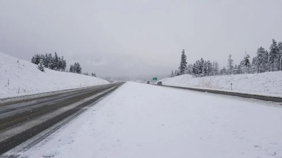
KAMLOOPS — Environment Canada has issued widespread snowfall warnings across the B.C. Interior.
Areas of the Cariboo and Shuswap regions could see up to 15-20 cm of snowfall accumulation throughout the day.
“We’ve got Arctic air … over sort of the northern-central B.C. and some moisture coming in with a warm front from the Pacific,” said Meteorologist Mike Gismondi. “So, we have snowfall warnings extending from about 100 Mile, through the Cariboos, Prince George, into the Bulkley Valley, and through North Thompson into the Shuswap as well.”
Gismondi says Kamloops has avoided the snowfall warnings today.