Snowfall expected to last all day in Kamloops
Nov 2, 2017 | 10:58 AM
-
Share on Facebook
-
Share on Twitter
- Copy Link
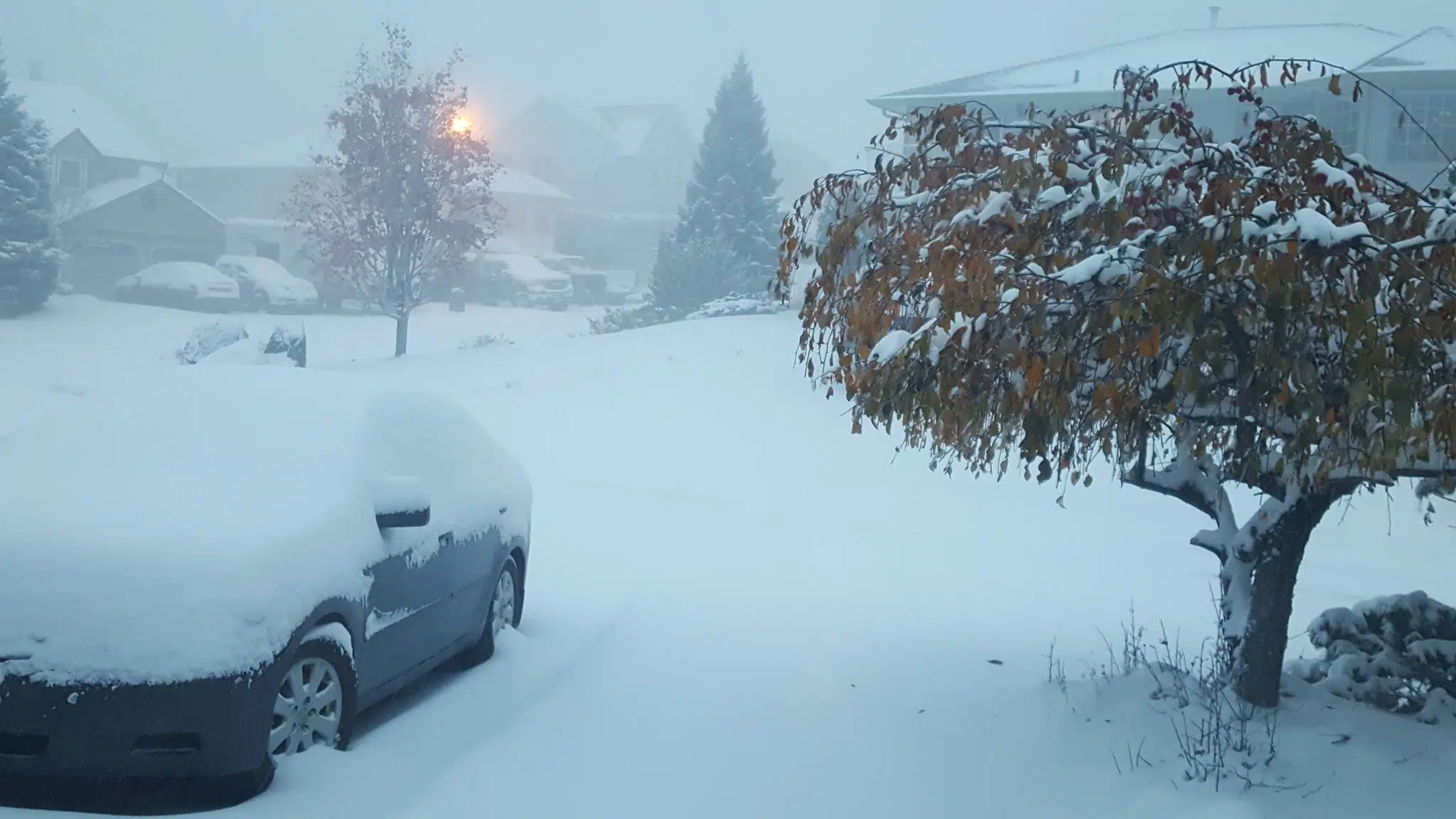
KAMLOOPS — The worst of the year’s first significant snowfall should be over by early tomorrow morning in Kamloops.
That from Doug Lundquist, meteorologist with Environment Canada, who notes the amount of snow we receive will be tough to predict.
“Let’s say five centimetres or more today in the valley bottom with 10 over the higher terrain in the higher parts of town around Kamloops,” he says. “15 in the mountain passes towards Vancouver and there’s more coming tonight. So, when you total it all up we’ll probably have something like 10 or 15 in the valley bottom depending on where you live and over higher terrain it could be 15-25 or perhaps 30 in some spots.”
In the meantime, he says it’s best to leave your car at home if you can.