Winds of change may arrive on the weekend, but will they clear the air?

Aug 8, 2017 | 4:42 PM

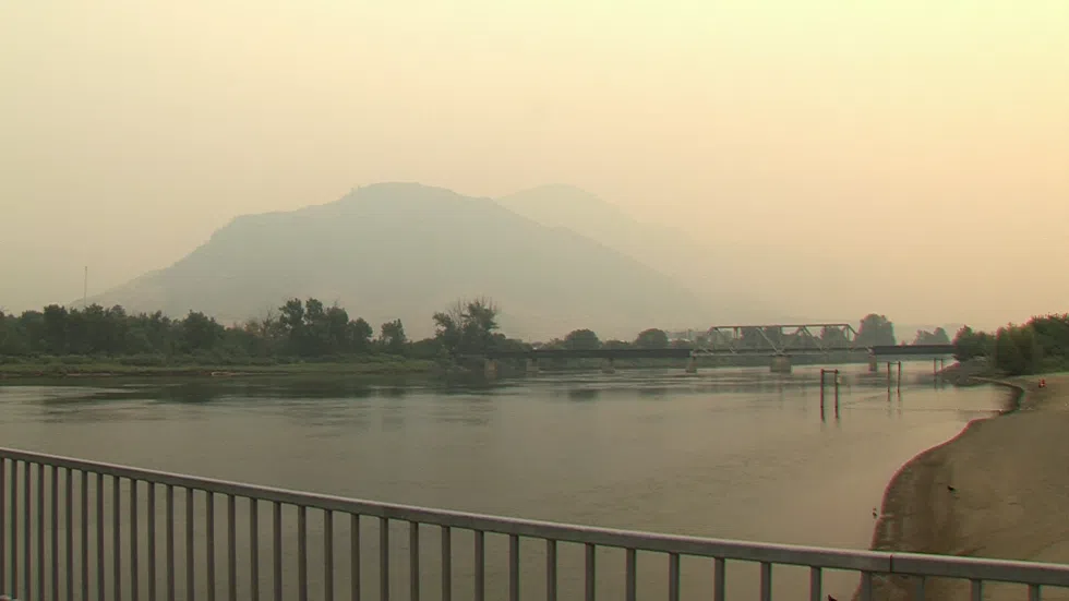
KAMLOOPS — A trough of low pressure approaching the BC Interior later this week could have a couple of potential impacts on the choking smoke blanketing the region.

Environment Canada Forecaster Cindy Yu says the system is expected to bring a few millimetres of precipitation, which could help filter smoke particles from the air.

“There is a trough of low pressure approaching the BC coast this weekend. With that, we are expecting a chance of showers this weekend, mostly likely on Sunday along the cold front. But ahead of that cold front, we could see some pop-up showers on Saturday afternoon or evening.”

However, Yu says the winds could shift, coming from the west.

“This doesn’t necessarily mean it’s an improvement for our air quality, just because we have quite a large fire to the west of us. This wind could potentially bring more smoke into the region.”

In the short term, Yu says Kamloops residents shouldn’t expect much change.

“We’ve been dealing with a pretty stagnant air mass in the last five days or so. That allows the smoke to settle into the valleys at night. Through the day, in the afternoon hours, we can see more movement in the lower level of the atmosphere that can disperse the smoke a little bit.”

“This ridge of high pressure will stay, unfortunately, for the next couple of days. As a result, we are expecting mainly sunny – but with widespread smoke, of course – mainly sunny conditions today through Friday.”

“For this weekend, we are expecting a couple of millimetres of precipitation over the South Thompson region. That’s not enough to put out the fire, but it could potentially be good news for our air quality.”