Storm watch on again in Kamloops
Jul 18, 2016 | 10:17 AM
-
Share on Facebook
-
Share on Twitter
- Copy Link
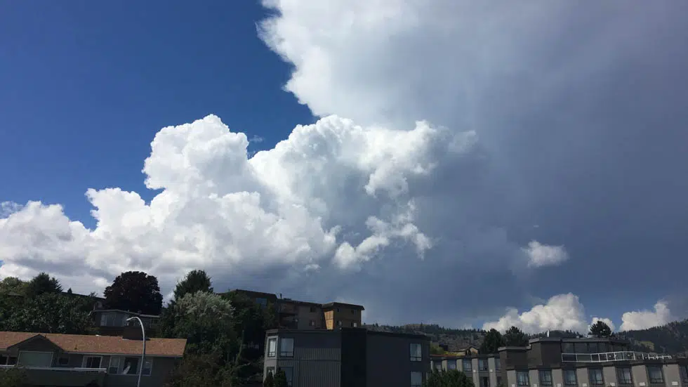
KAMLOOPS — After several thunderstorm watches and warnings for the South Thompson last week, another severe thunderstorm watch has been enacted for today.
Forecaster Matt MacDonald says localized storm clouds will push up from Washington by early afternoon.
“These types of thunderstorms, that we call ‘pulse thunderstorms’ have the potential to deliver heavy downpours, upwards of 15mm or maybe 20mm. So there is the possibility of localized landslides, and also some strong winds,” explained MacDonald.
MacDonald says there will be some lightning activity as well.